
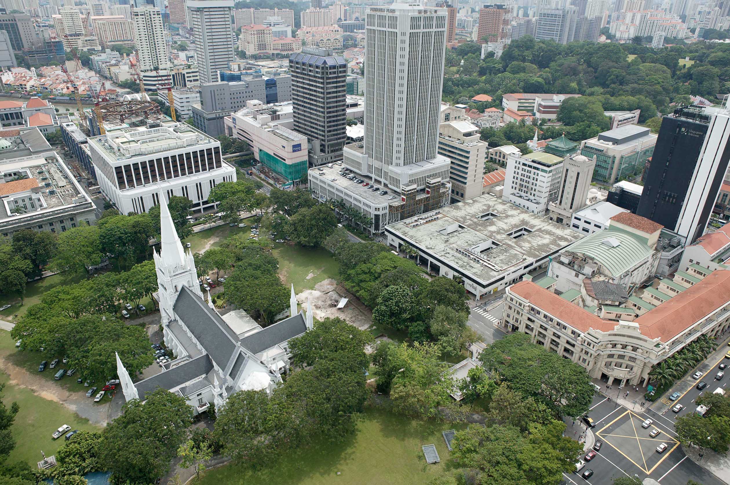
The St. Andrew’s site is located in an area bounded by Stamford Road to the north, Connaught Drive to the east, Fort Canning Hill to the west, and the Singapore River flowing south-southwest. Fort Canning Hill was the ceremonial and administrative seat of the 14th-century polity in Singapore (Miksic 1985, 2000, 2004, 2006, 2013). The cathedral’s yard is situated near what was the “former embankment which bounded the city on the north and northeast” (Miksic 2006: 341). The site was used for houses during “the earliest phase of British settlement in Singapore” prior to the establishment of the church (Miksic 2013: 260). “Dense clusters of colonial artifacts and disturbed strata in the churchyard” support this observation (Miksic 2013: 260). According to Munshi Abdullah, “the plain was occupied for Sepoy Lines and for the residence of the principal Europeans” up until the time when Crawfurd moved the Sepoys to “lines and fine pucha houses [which] were built for the men and officers” in Telok Blangah (Buckley 1984: 286, see also Hill 1970: 281-2, quoted in Miksic 2013: 260). The military paraphernalia including flints used for flintlock guns were excavated, likely dating to the time when the grounds were used by the military cantonment. The 1822 map of Singapore which depicts the “Old Lines of Singapore” (Source: British Library M XII 35 Plan of the Island of Singapore including the new British settlement and adjacent islands. The settlement environs, New Harbour, and adjacent islands surveyed by Lt Col Farquhar etc.) shows four square structures which were likely soldiers’ quarters (see map and description in Miksic and Goh 2003: The Singapore Cricket Club Excavation in the same series). A survey map, Singapore 1822-3, covering the period between 1819 and 1822, shows the location of the Singapore Cantonment (see National Archives of Singapore Map Accession no.: SP004502). When the military cantonment moved out, Farquhar undertook the clearing of the land, only a number of European houses remained. “Colonel Nahuijs says that about thirty European houses were there in 1824” (Hill 1970: 281-2, quoted in Miksic 20113: 260). The colonial artifacts recovered belong to this period of occupation.
The location of a proposed church is noted on the 1825 Jackson Plan, published in 1828 (see National Archives of Singapore Map Accession no.: GM000014). Following this, between 1834 and 1835, meetings took place within the settlement of Singapore which discussed and resulted in the decision to erect a large church and the plain, where the St. Andrew’s Cathedral now stands, was selected (Buckley 1984: 286-8). The foundation stone for the church was laid on November 9, 1835, observed by “a large number of persons” in “a short service by the Residency Chaplain, preceded by a short address” (Buckley 1984: 289). The G.D. Coleman map of 1836 shows the location of the English Church (see National Archives of Singapore Map Accession no.: HC000067). The church was consecrated in 1838 (Buckley 1984: 289). Lightning struck the church’s steeple in August 1845, “which splintered one of the tablets next to the Communion Table; and again on the 4th April 1849” the spire was again hit (Buckley 1984: 292). Due to the damages and the “dangerous state” of the church, it ceased to be used in 1852, and a Grand Jury advocated for the establishment of a new church to replace the former (Buckley 1984: 292). The earlier church was demolished in 1855 (Hooi 1978: 8, quoted in Miksic 2013: 260). The foundation stone for the present cathedral was laid on March 4, 1856 (Cornelius-Takahama and Tan 2017). The cathedral was built between 1856 and 1863 (Miksic 2013: 260). The colonial reports of the ground in the area described it as swampy and this caused problem in the building of the church’s structure as the foundations had to be dug very deep, but was deemed insufficient (Buckley 1984: 294). Presently there is no indication that the area was once a swamp. This suggests that the topsoil excavated was brought to the site as fill. The origin of the sand used as fill is currently unknown.
The British military used the site of St. Andrew’s as an emergency hospital during World War II to attend to casualties from bombings (St. Andrew’s Cathedral 2006: 21). There was a trench dug along the fence bordering North Bridge Road which served as an air raid shelter. “Lieutenant-General Percival and other Anglicans attended communion service at St. Andrew’s Cathedral” prior to surrendering to the Japanese (Foo Min Li 2012). Services only resumed at the church after the war (Cornelius-Takahama and Tan 2017). Upper layers of the excavations reveal artifacts such as “coins, military badges, buttons, glass, building materials, metals, and ceramics” (Miksic 2013: 261-3). A number of these metal objects is associated with the military hospital. Items in the assemblage includes badges, medals, buttons, a metal military mess kit, kettle, spoons etc. There are also examples of “small arms ammunition (both for rifles and revolvers), mainly of the 1941-1942 period” which were found during the excavations, and these had been “surrendered to the police for safe disposal” (Miksic and Lim 2004, Miksic 2013: 263).
Due to the focus of the HRG grant, there is only a small sampling of the colonial period artifacts included in this report and database. The team aims to undertake a complete analysis and compilation of a full report in the long run, including the 19th-20th century artifacts, which presently is less represented here.