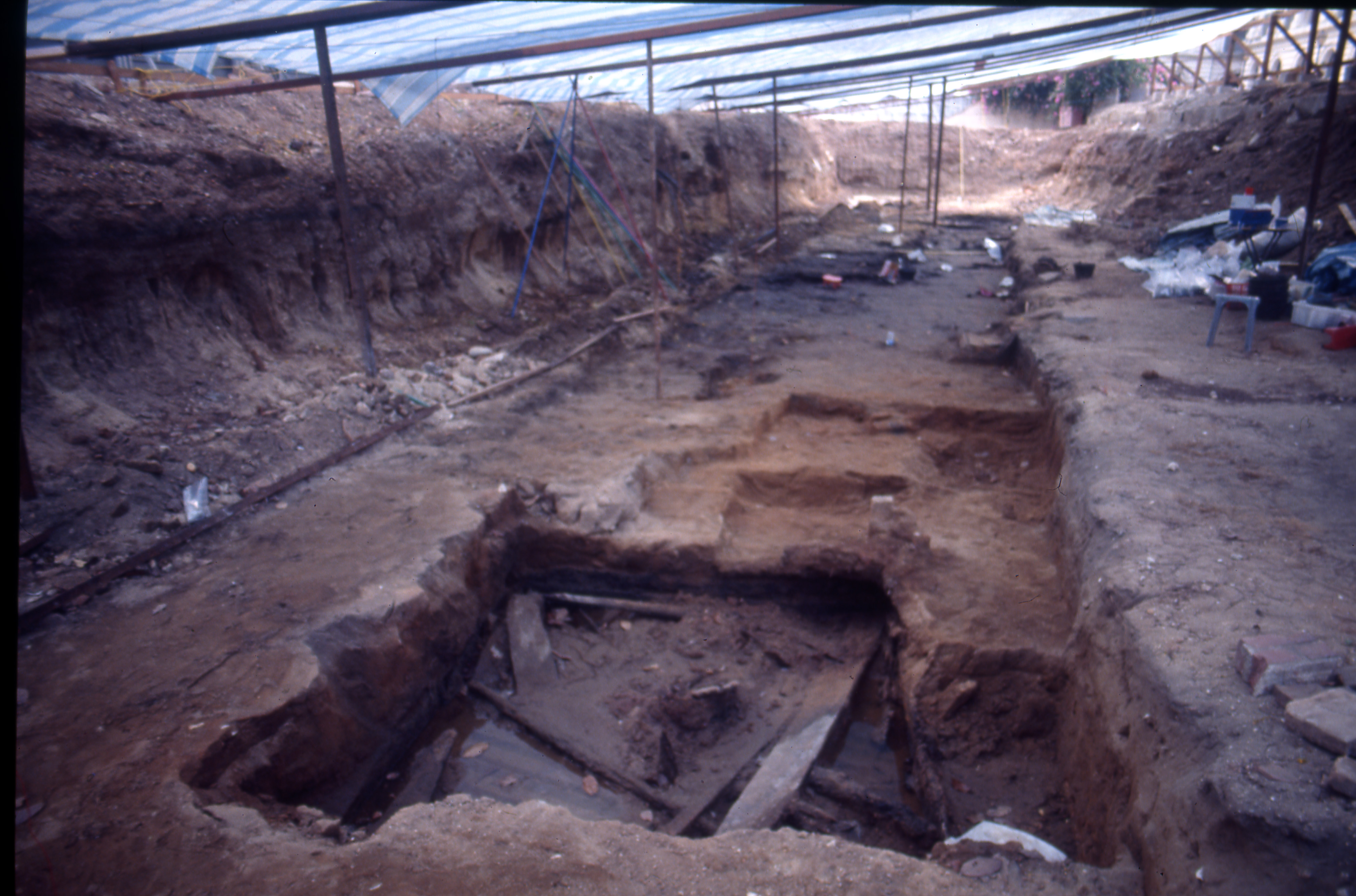
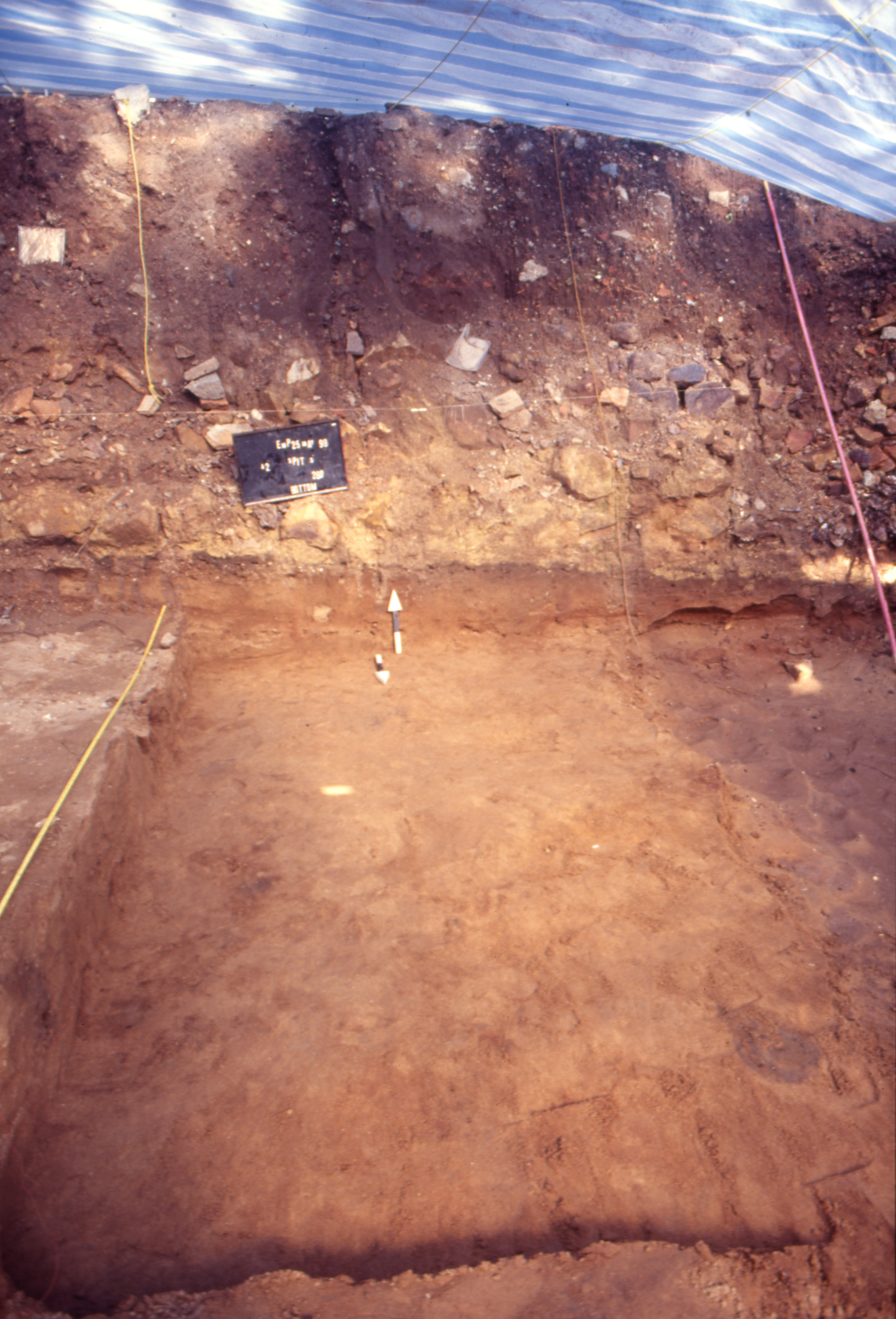
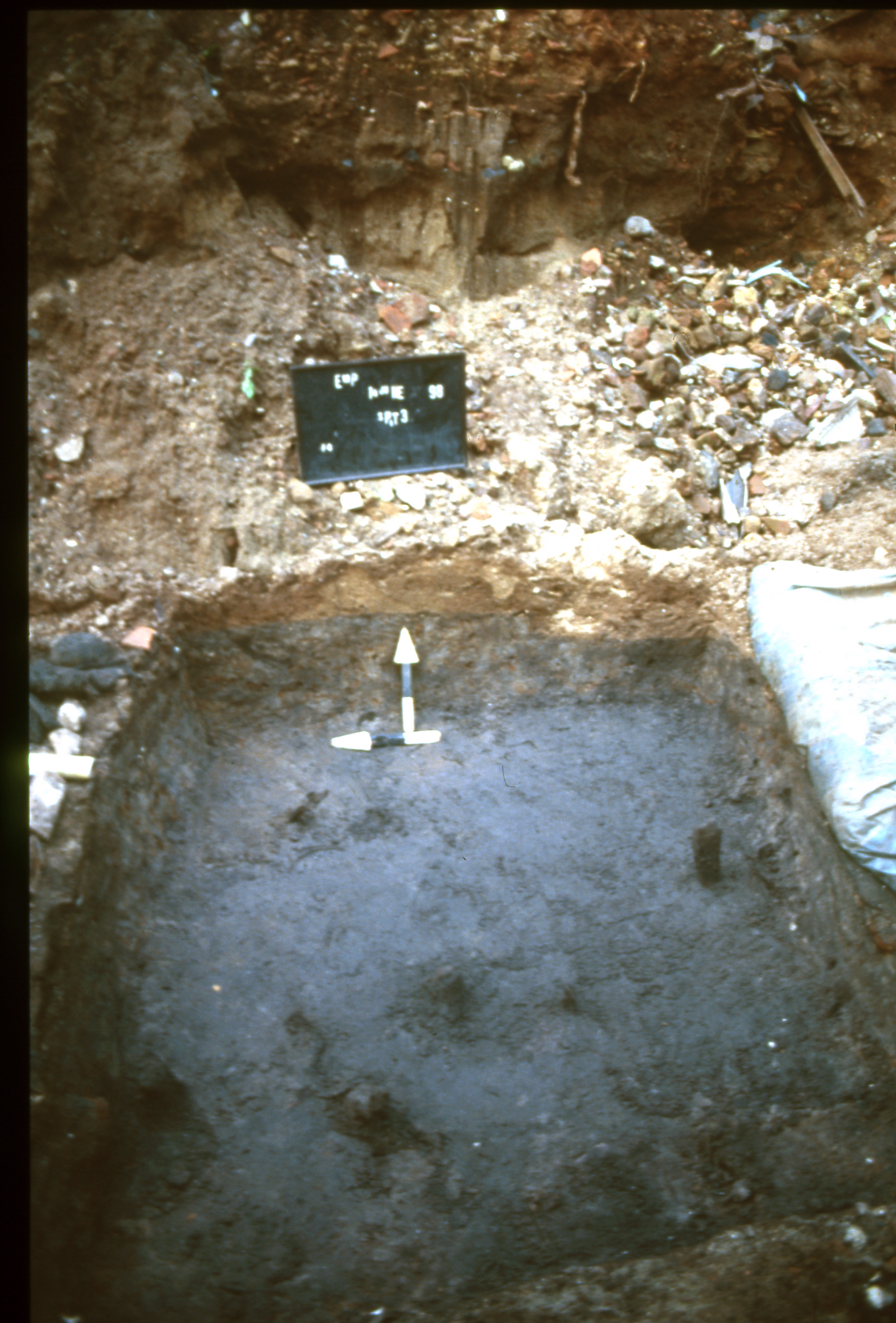
An area measuring 40 metres long and 10 metres wide was excavated by a mechanical digger to the top of the precolonial layer. The long axis of the site was parallel to the Singapore River. The top of the precolonial layer sloped gradually toward the river. At high tide, the precolonial layer nearest to the river was submerged as groundwater percolated upward. The soil mainly consisted of coarse-grained orange sand. This layer was overlain by a clayey layer mixed with large rocks. This layer probably was artificially created in the early 19th century when the British built a wall along the river and deposited fill on top of the sloping riverbank to create a dry, flat space suitable for loading and unloading cargo.
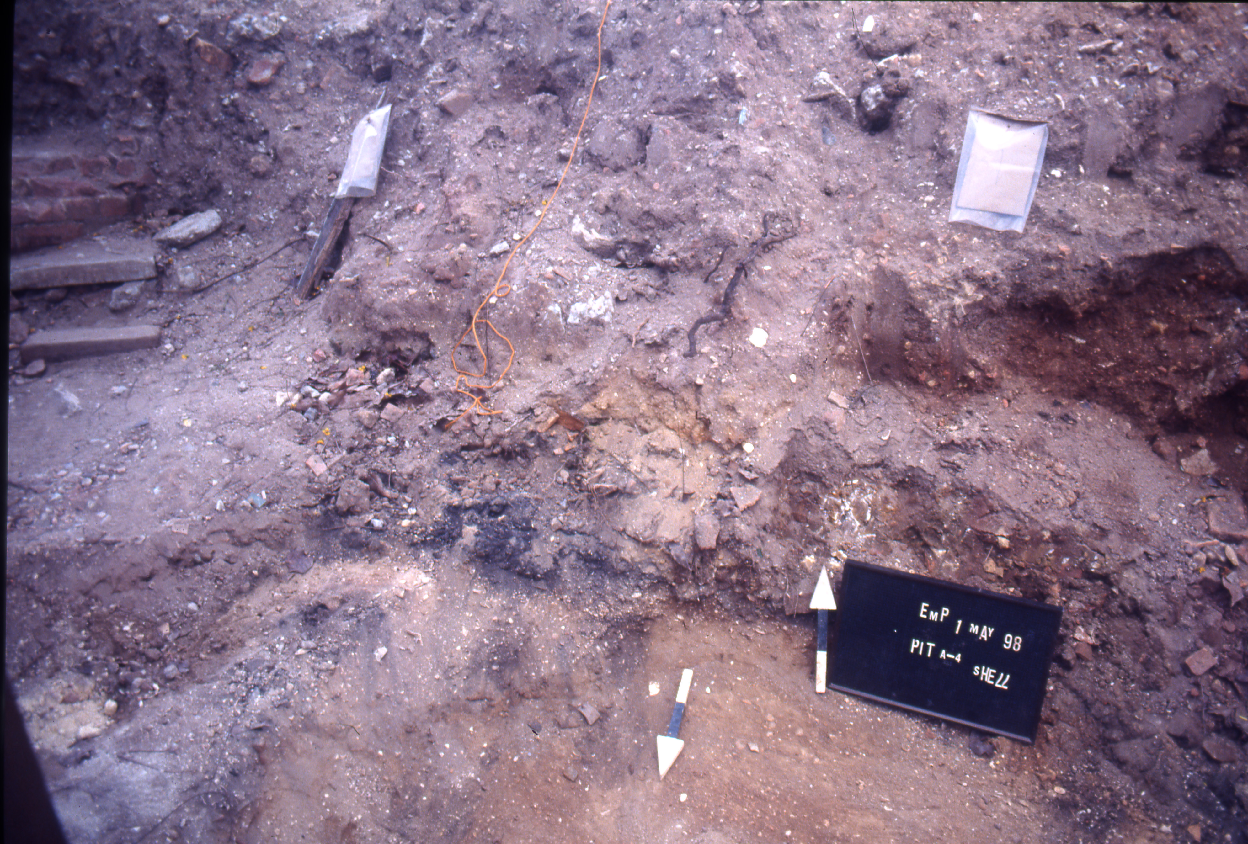
At the downstream end of the excavation, the orange layer sloped upward. This area presented complex stratigraphy including a layer in which small shells were plentiful. This seems to have been a sandbar created by the deposition of sediment from upstream where the river’s mouth met the sea and the current ceased, dropping its load.
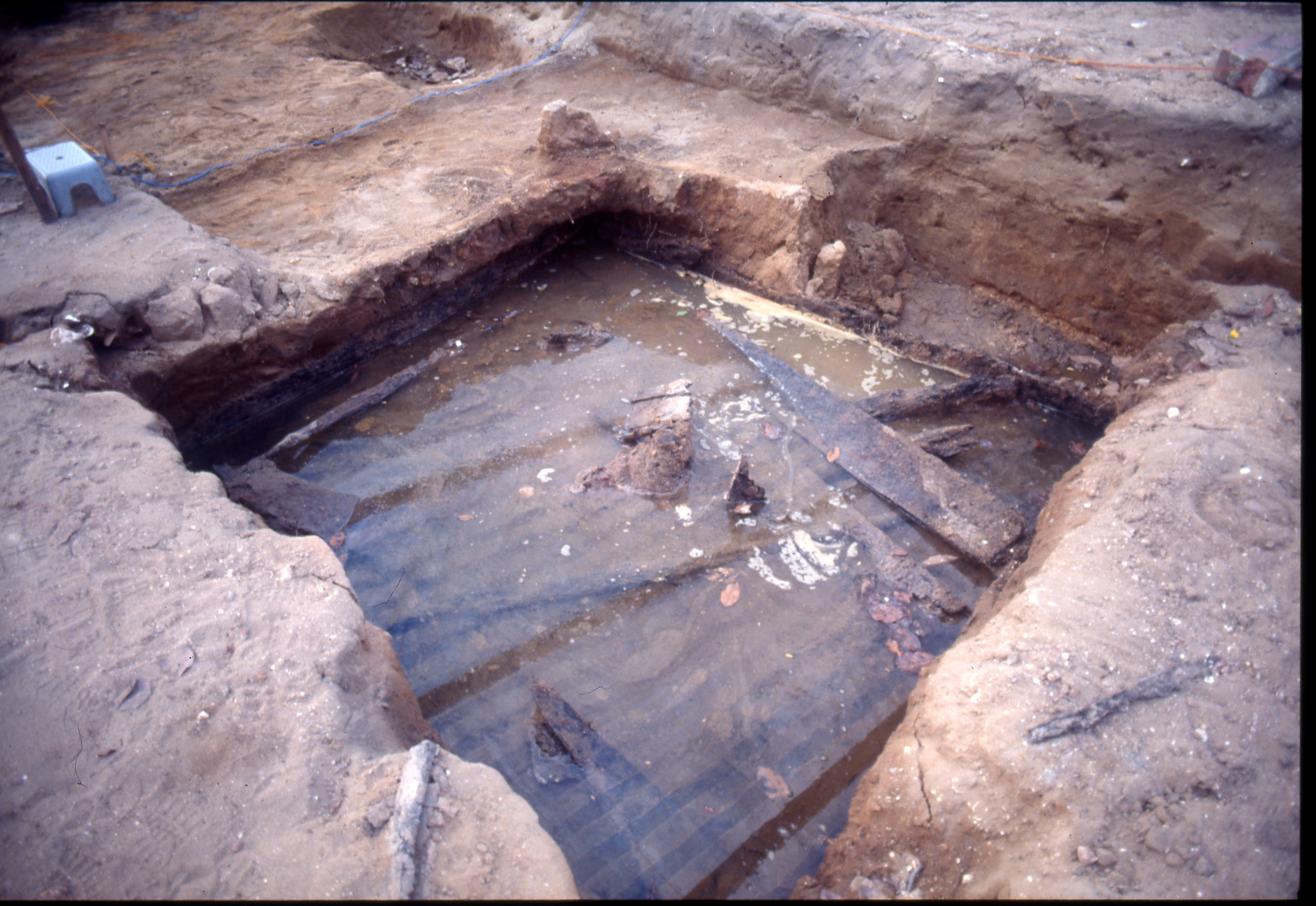
Further upstream, the sand was stained dark gray to black by decaying organic matter. Remains of wooden posts preserved here probably were used to tie up small boats for loading and unloading. Areas of preserved driftwood were also recorded. No radiocarbon analyses have been conducted, so it cannot be determined whether these organic remains date from the early colonial or precolonial period.
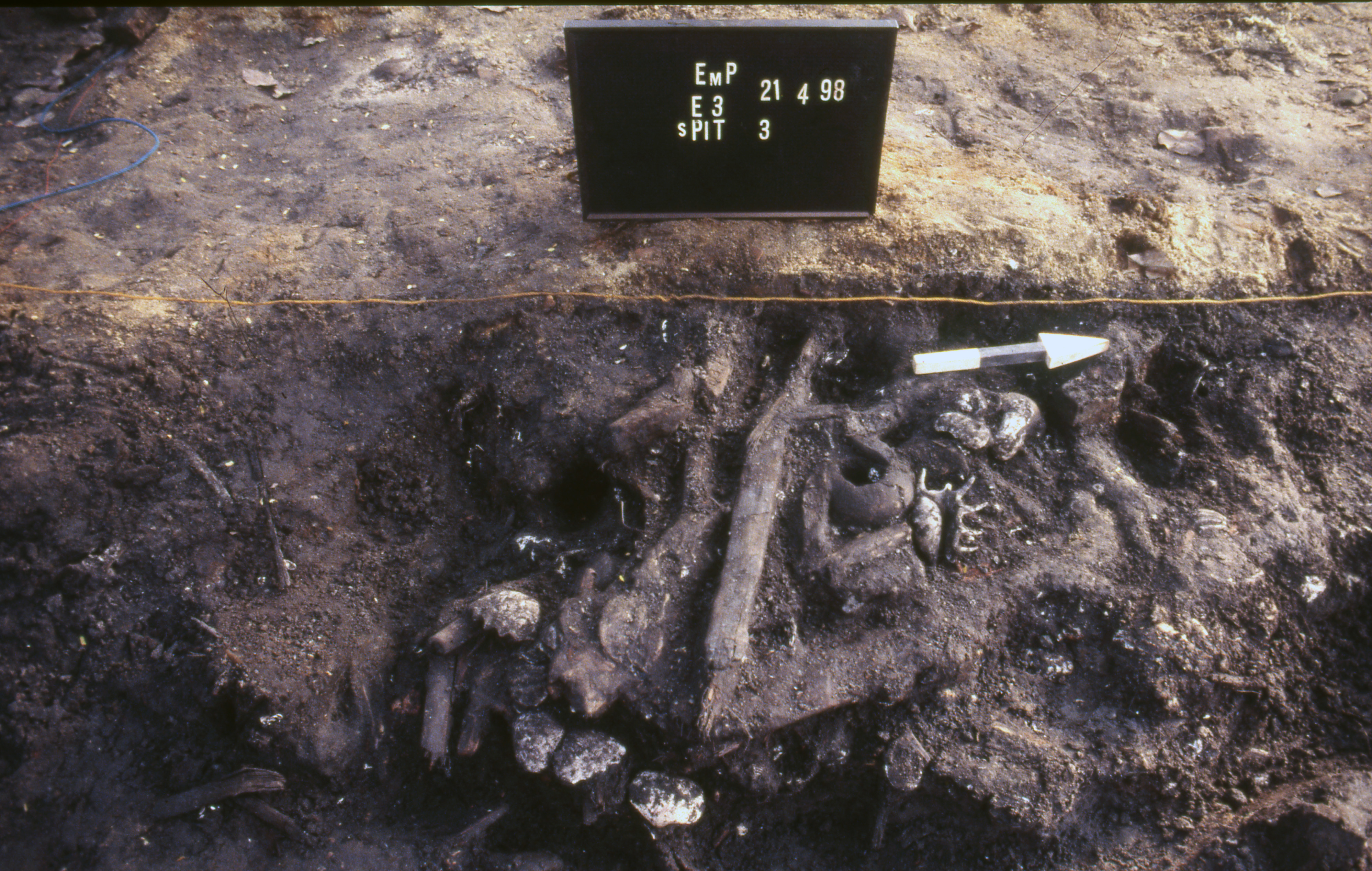
Another unusual feature of the site was the discovery of a square wooden structure. The purpose of this structure is unknown, but given the technique used to saw the boards of which it consists, it was probably built in the early 19th century CE (before it was covered during construction of the stone wall and the levelling of the riverbank).