
North Maluku
This is a complex region; the map linked below may help one to understand it. Used to illustrate the Wikipedia article on the Maluku Islands, it depicts the former Indonesian province of Maluku, which was split in 1999 into North Maluku and Maluku. It was also of very great interest to the Europeans in the 17th and 18th centuries.
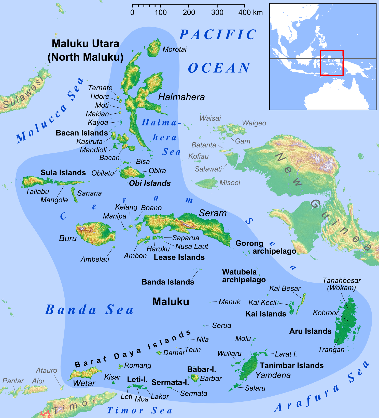
Maps of North Maluku
1711 — Map of the Ternate Islands, AMH NA VEL0473
1720 — Map of the ruined fort and settlement of Gammalamma, Jacob C. Pilat, AMH NA VEL1319. Gamalama fort, built by the Portuguese in 1523 was taken by the Spanish in 1606, refurbished, and then captured by the Dutch.
1753 — Map of the Moluccas (Ternate and Tidore), AMH KB, 693 C 6 deel XI, to. p. 1.
1854 — Map of the North Moluccas, KIT/LU KIT645728


