
A. Survey
A survey was conducted on May 29, 2010, to determine a location for an excavation unit which might lead to the discovery of ceramics. As part of the survey, the local population and workers from the Dieng temple reconstruction project were interviewed in order to:
Determine locations with concentrated finds of ceramic sherds.
Enquire into the location of soil heaps which were made following the construction of the footpath which connects the Arjuna temples to Gatotkaca. According to Dr. John Miksic’s recollection, the soil heaps contained ceramic sherds, including examples from the Tang dynasty.
The local population said that many sherds of place and glass were found in the vicinity of the Dharmasala complex. When they found ceramics, they immediately discarded them and did not pay attention to whether the broken sherds were from old or new ceramics. When the survey team went to investigate the Dharmasala complex including an old well, they found one Dusun jar sherd. This is a well-known type of Chinese storage vessel made in the ninth century typically found in central Javanese sites. The survey team then chose the vicinity of the well as a potential area for systematic excavation.
The project carried out in 2010 did not involve the investigation of the footpath which was made in the 1970s to connect the temples in the Candi Gatotkaca complex and the Dharmasala complex. It was inferred that heaps of earth had been moved from their original position and tamped down on both sides of the footpath which connects the museum with the main entrance to the temples. Relying on this inference, the survey team determined that the areas on the left and right flanks of the entrance stairway represented a potential area for detailed excavation.
The survey of May 2010 was also conducted in order to determine the suitability of the area of Dieng and Wonosobo for a planned joint excavation in the Dieng temple complex involving archaeology students from Universitas Gadjah Mada, the Nanyang Technological University, and the National University of Singapore.
B. Excavation
Initially excavations were carried out in two sectors which were determined by earlier survey: in the sector of Dharmasala; and the area flanking the entrance stairway which connects Gatotkaca and Arjuna temples. While excavation was under way in these two sectors, surveys were undertaken simultaneously to identify other areas for excavation where foreign ceramics might be found.
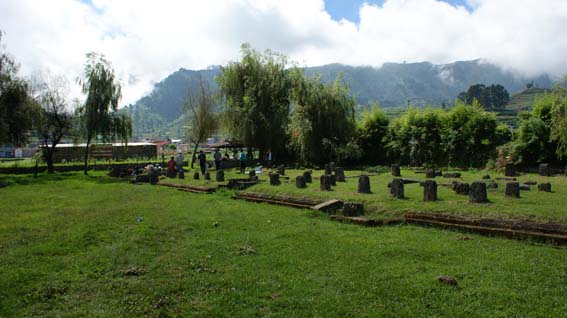
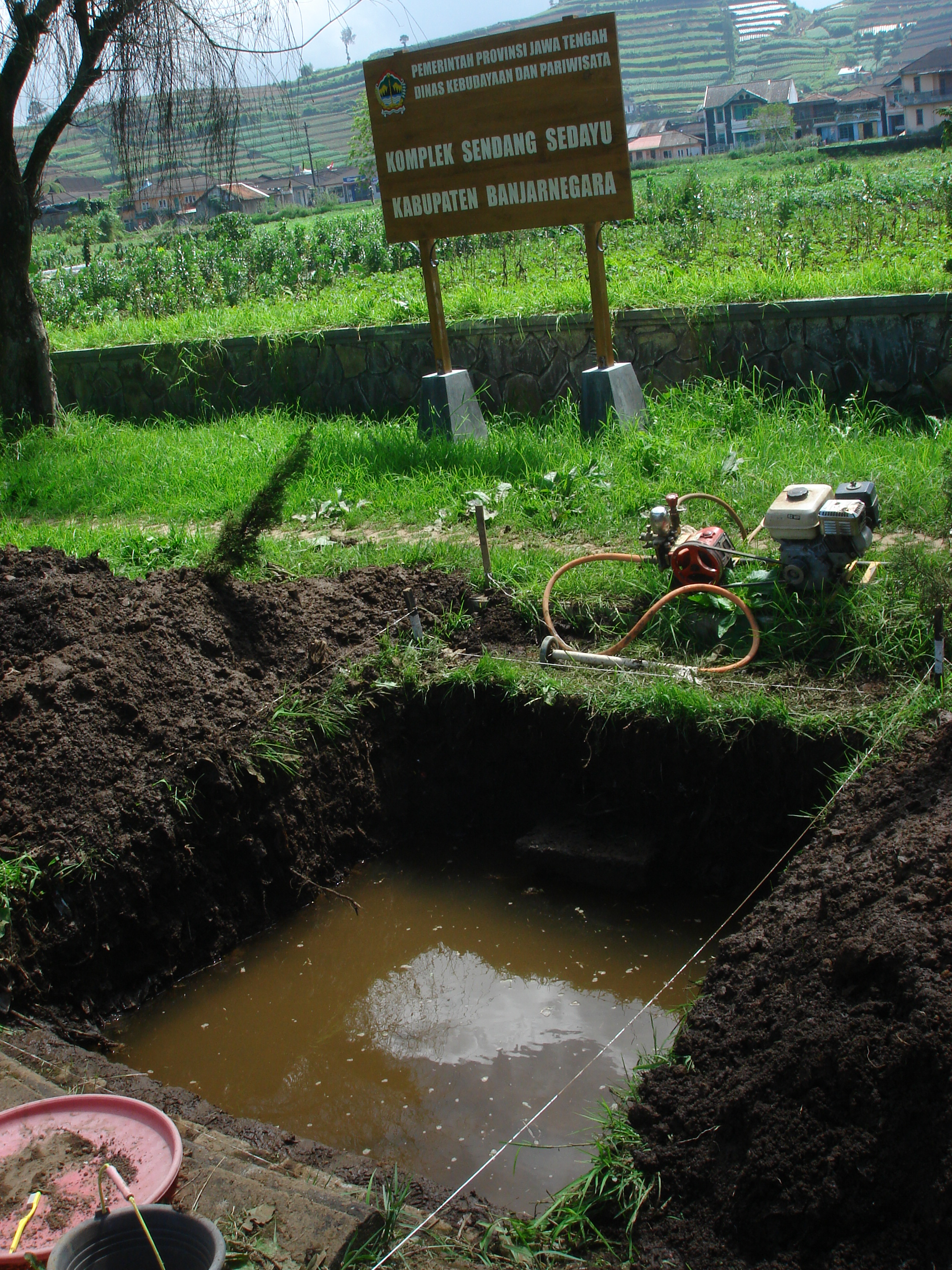
The Dharmasala sector includes a set of foundations for wooden structures and a well, which may have been used by pilgrims staying in the wooden structures. The well is now called the Sendang Sedayu Complex. It seemed like a logical place to search for remains of everyday objects, such as jars which would have been used to store water from the well.
1. Excavation Method
In accordance with standard techniques, all sites in this project were excavated by spits (artificial layers). If the locations of the chosen units were not obstructed by structures or footpaths, the entire 2x2 meter area of the squares was excavated. In certain cases, such as a location near a slope, profiles were cleared to the extent dictated by the situation. When needed, in order to obtain more ceramic sherds, the units were extended on either side without leaving a baulk. The depth of each spit was set at 25cm from the ground surface. SDP (Site Datum Point) was located at the corner with the highest elevation, or when it was impossible to identify a corner with a difference in height, SDP was the point nearest to the highest surface, or using the SDP of another nearby unit if the unit was an extension of the previous one. The height of the SDP from the ground surface varied and was determined according to each unit excavated. The depths of the important finds were measured directly from the SDP (labelled Z).